Why a Few Days of Rain Paralyse Jammu & Kashmir
By Ajaz Rashid
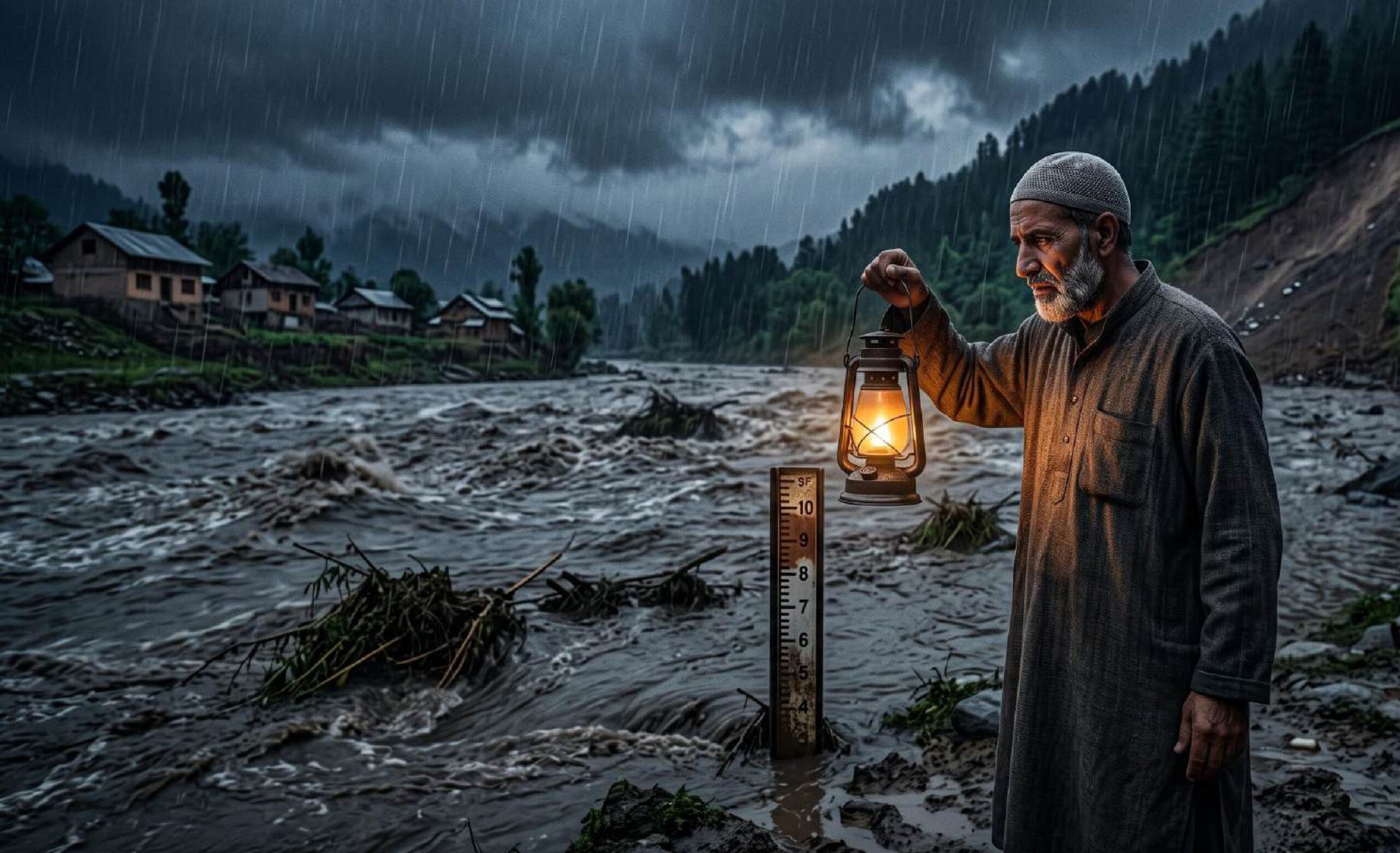
In the low-lying settlement of Sethar, nestled along the banks of the Jhelum River in South Kashmir’s Anantnag district, sleep is a luxury that vanishes with the first drops of heavy monsoon rain. When dark clouds gather over the valley, residents do not listen for the soothing rhythm of rainfall; they listen for the river’s roar.
“We spend the entire night checking the river,” says Arif Ahmad, a resident living close to the Jhelum whose household lives in a perpetual cycle of flood vigilance. “One hour the water level appears to recede, and the next hour it rises again. Every rainfall reminds us of the 2014 floods.”
Arif’s nocturnal vigil is shared by millions across Jammu and Kashmir. A brief, intense spell of monsoon precipitation across the Union Territory recently paralyzed daily life, severed critical highway connections, flooded low-lying corridors, and claimed human lives.
In the hillside village of Bhatian in Thanamandi, Rajouri district, relentless rain compromised a residence. The structure caved in, trapping a family under heavy masonry. While neighbors scrambled to clear the debris, 45-year-old Shahida Parveen succumbed to her injuries. Her husband, Abdul Rehman (62), and son, Toufeeq Rehman (25), were rescued with severe injuries and rushed to the Government Medical College Associated Hospital in Rajouri.
Simultaneously, in nearby Behrote village, search teams from the National Disaster Response Force (NDRF), State Disaster Response Force (SDRF), and local police engaged in a days-long rescue effort for Abdul Ghani, an employee of the Jal Shakti Department. Ghani was stationed at a municipal water supply pumping room when flash floods swept the entire building into the river torrent.
From structural collapses in the hills of Rajouri to fluctuating gauge levels along the Jhelum, a central question emerges: Why does a brief spell of rain cause rapid river swells and widespread paralysis across Jammu & Kashmir?
A Territory Disconnected
The recent rainfall exposed the vulnerability of the region’s transport network and civil infrastructure. Arterial routes connecting J&K internally and to the rest of India were disrupted by landslides, mudslides, and shooting stones.
- National Highway 44 (NH-44): The vital transport link between Jammu and Srinagar experienced blockages in Ramban district due to debris and falling boulders before emergency restoration crews cleared light motor vehicles.
- Mughal Road & Regional Routes: Multiple landslides rendered the Mughal Road impassable. In Doda district, the Thathri-Kilhotran Road was blocked at Bhamoon Battis, leaving commuters stranded as local residents cited delays in clearance operations.
- Urban Hydrology: In Jammu city, the water level of the Tawi River rose close to warning thresholds, prompting administrative alerts. Across the Kashmir Valley, day temperatures dropped significantly below seasonal averages, Srinagar fell to 21.5°C (8.4 degrees below normal) and Kupwara reached 21.1°C (10 degrees below normal).
The civic impact prompted the Directorate of School Education Jammu (DSEJ) to issue safety circulars halting physical classes in flood-affected districts.
“It has been reported by several Chief Education Officers that a number of educational institution buildings have sustained structural damage, rendering them unsafe for occupation by students and staff,” the DSEJ circular stated. “Under no circumstances shall the safety of students, teachers or staff be compromised… No building declared unsafe… shall be used for conducting academic or administrative activities.”
Where school infrastructure was compromised, educational authorities were instructed to relocate classes to Panchayat Ghars, community halls, or alternative public spaces.
What Went Wrong?
Environmental researchers, hydrologists, and civil engineers point to structural, regulatory, and ecological factors that turn routine rainfall into regional emergencies.
1. Stagnation in Post-2014 Mitigation Schemes
Following the devastating floods of September 2014, the Central Government authorized a multi-phase Flood Management Plan supported by the Prime Minister’s Development Package (PMDP).
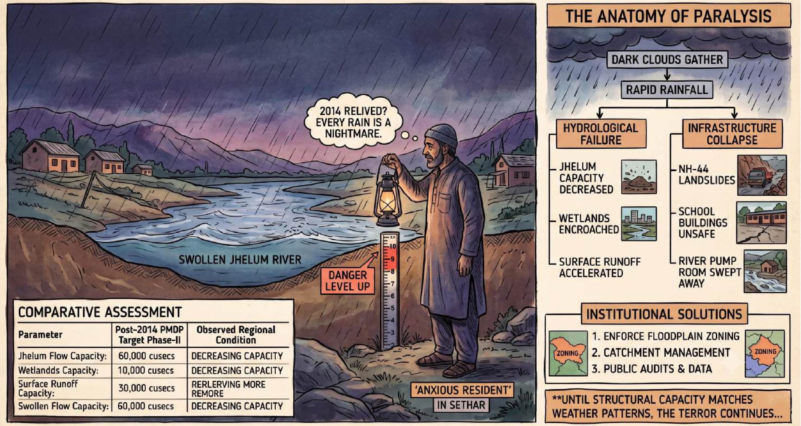
Phase-I focused on spot dredging and channel strengthening along vulnerable stretches of the Jhelum, backed by an allocation of ₹399 crore. The long-term objective of Phase-II was to expand the river’s carrying capacity from approximately 40,000 cusecs to 60,000 cusecs. Technical studies by the Central Water and Power Research Station (CWPRS), Pune, recommended widening the Jhelum in North Kashmir by 40 meters over a 19-kilometer stretch and expanding the flood spill channel to Wular Lake to a uniform bed width of 80 meters.
However, execution progress remains incomplete.
“Under the Flood Management Plan… the government’s long-term objective was to enhance the carrying capacity of River Jhelum from around 40,000 cusecs under Phase-I to 60,000 cusecs under Phase-II,” explains Mudasir Ahmad, an environmental science lecturer in south Kashmir. “However, there is little public information about the current status and progress of the second phase. Instead of improving, the carrying capacity of almost every major water body in Kashmir is steadily decreasing.”
2. Encroachment of Natural Basins
Rapid urbanization along major urban nodes including Anantnag, Bijbehara, Awantipora, Pampore, and Srinagar has encroached upon the Jhelum’s natural floodplains and spill channels.
Where wetlands and marshes previously acted as natural buffers to store excess runoff, concrete construction now dominates. During heavy precipitation events, water cannot infiltrate the ground, leading to surface runoff that channels directly into primary rivers and rapidly raises water levels.
3. Waste Discharge and Silt Accumulation
The degradation of the river network is further compounded by solid waste dumping and untreated sewage discharge.
A research paper titled “Massive land system changes impact water quality of the Jhelum in Kashmir Himalayas,” authored by Earth Scientist Prof. Shakil Ahmad Romshoo and his research team, documents long-term ecological changes in the river system. The study found a substantial deterioration in water quality between 1983 and 2016, with nitrate-nitrogen concentrations increasing from 185 µg/L to 672 µg/L, a 260 per cent surge attributed to deforestation, agricultural runoff, and unmanaged municipal discharge.
This ecological loading accelerates siltation, reduces riverbed depth, and limits the volume of water the channel can accommodate before overflowing.
Comparative Assessment
The gap between post-2014 planning goals and current river conditions underscores the region’s continuing vulnerability:
| Parameter | Post-2014 PMDP Target Phase-II | Observed Regional Condition | Impact on Flood Risk |
| Jhelum Target Flow Capacity | 60,000 cusecs | Decreasing carrying capacity across major stretches | Frequent high-water alerts during short rain spells |
| Flood Spill Channel Width | Uniform 80-meter bed width to Wular Lake | Encroached by illegal construction and siltation | Reduced diversion capacity during peak surges |
| North Kashmir River Widening | 40-meter expansion over 19 kilometers | Partial execution with localized bottlenecks | Restricted discharge downstream into Wular Lake |
| Wetland Buffer Ecosystems | Protection of natural retention basins | Urban conversion and unmanaged waste disposal | Rapid surface runoff into main river channels |
Institutional Solutions and Public Transparency
To mitigate recurring flood risks and stabilize infrastructure, researchers, environmental planners, and local citizens advocate structural interventions and policy updates.
- Enforce Floodplain Zoning: Strict legal boundaries must be enforced along the active banks of the Jhelum, Tawi, Chenab, and minor tributaries to stop further encroachment.
- Catchment Management: Reforestation and slope stabilization in upper catchments are necessary to curb soil erosion, reduce siltation rates, and minimize landslide risks on highways like NH-44.
- Public Audits and Real-Time Data: Residents across affected river basins continue to call for official status updates regarding flood management funds and channel capacities.
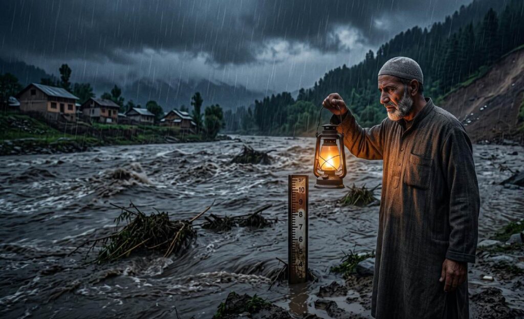
“After the devastating floods, we were told that comprehensive flood management projects would significantly reduce the risk,” notes an Anantnag resident. “Billions of rupees have reportedly been spent over the years, but every spell of heavy rainfall still leaves us terrified. We want to know how much the carrying capacity of the Jhelum has actually increased… We only want assurance backed by visible results so that people can sleep peacefully even when it rains.”
Until structural capacity enhancements match the realities of modern weather patterns, brief periods of heavy rain will continue to pose hydrological and civic challenges for the population of Jammu and Kashmir. (With inputs from KNO)
Disclaimer: Data has been compiled from multiple sources, and figures may vary. Readers are encouraged to verify the data independently.
Leave a Reply